California is Burning
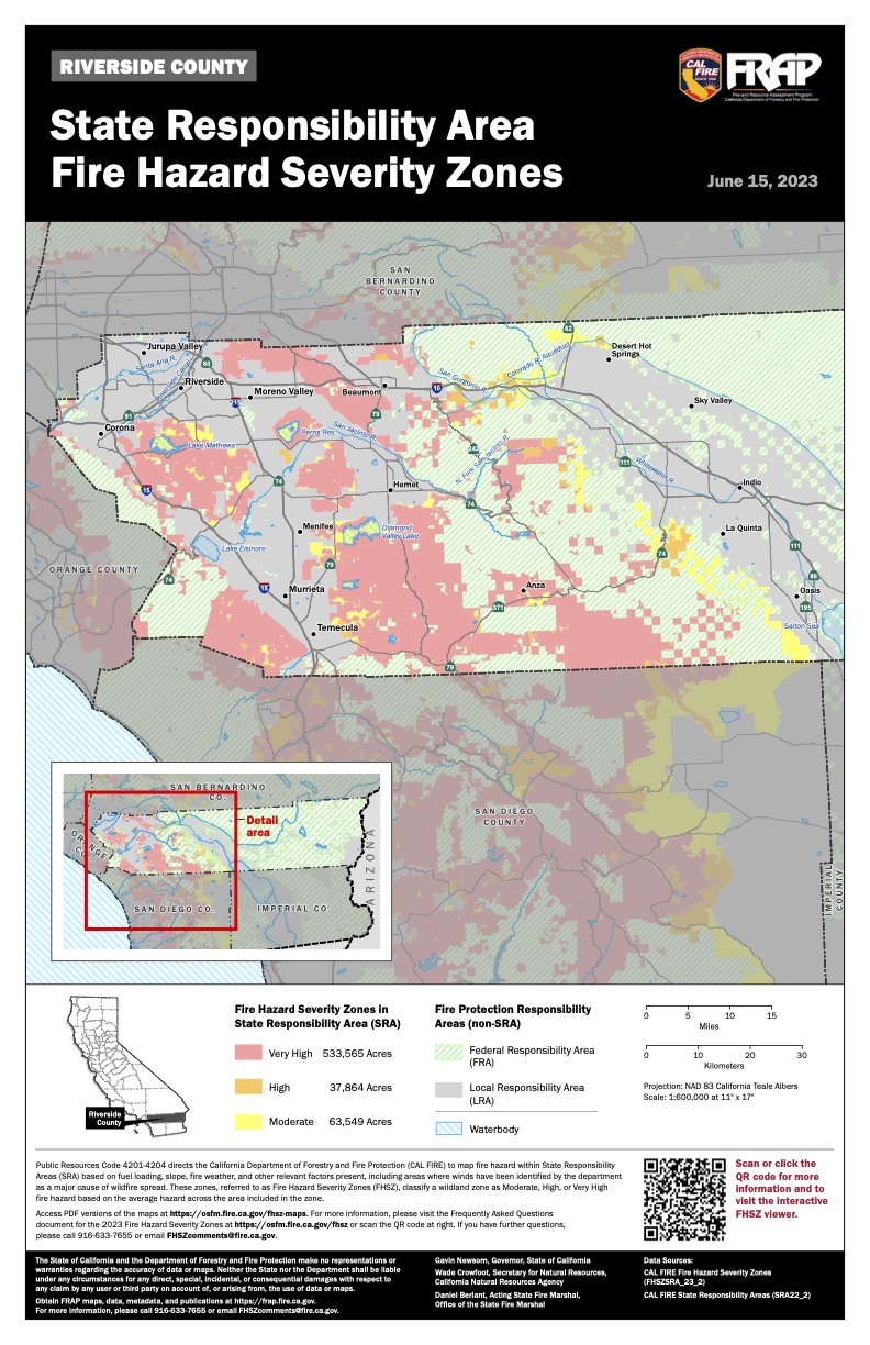
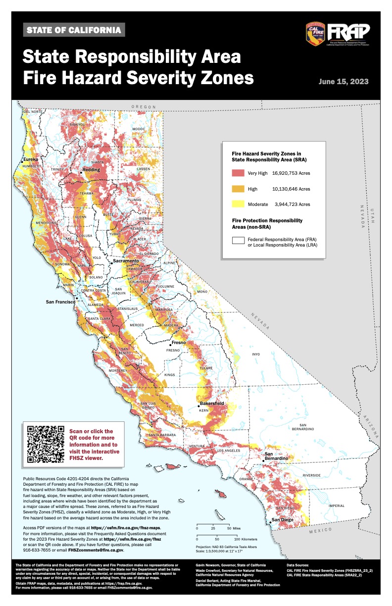
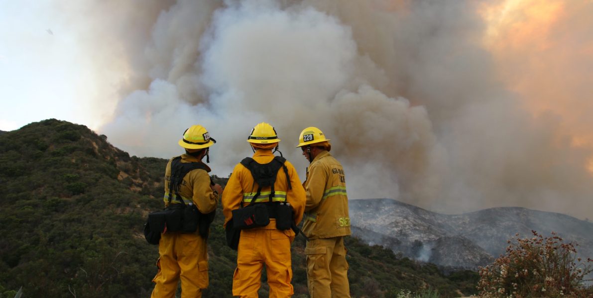
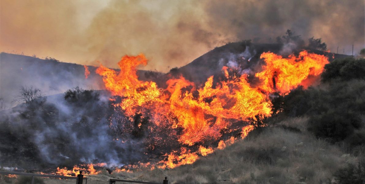
For most people, the concept of “wildfire season” has become a year-round threat. Wildfires are possible whenever the conditions of wind, fuel, and heat combine to create an ignition possibility. Wildfires are getting worse with each passing few years, as a combination of “climate change” and the continued building of homes in the wildland urban interface (WUI). Wildfire is especially dangerous to those living in what CalFire refers to as the Very High Fire Severity Zone (VHFSZ). What many people may not understand is how the risk applies to them – or to put it another way: to you!
The Numbers of Wildfire
Riverside County is ranked at 99.94% in the U.S. – 684,400 homes, or 77.2+% of its properties.
San Bernardino County is ranked at 99.9% in the U.S. – 472,700 or 57.4% of its properties.
source: FEMA
The U.S. Forest Service, a division of the United States Department of Agriculture, has a website that will help individuals access the risk to their property – utilizing interactive maps, charts, and other resources to help people understand how the risk may apply to their home.
Fire Hazard Severity Zones
The Office of the State Fire Marshal (Cal Fire) has established a method of determining those areas within the State where the risk – or hazards – related to wildfire are significant. This is a complicated endeavor, and includes not only Federal land, often referred to as “Federal Responsibility” areas, but “State Responsibility” areas and Local (Los Angeles County) Responsibility Areas.
Cal Fire updates their maps annually, and has done so since 2008. Note that Local agencies are not required to report such zoning actions and CAL FIRE does not have a current list of local agencies that have adopted ordinances establishing Very High Fire Hazard Severity zones within their boundaries.
Are You Ready?
The county of Riverside is proactive relative to any number of disasters and related preparedness. When you’re finished working with the MySafe:Riverside website, don’t forget to see if you’re Ready Riverside!

