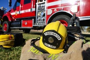
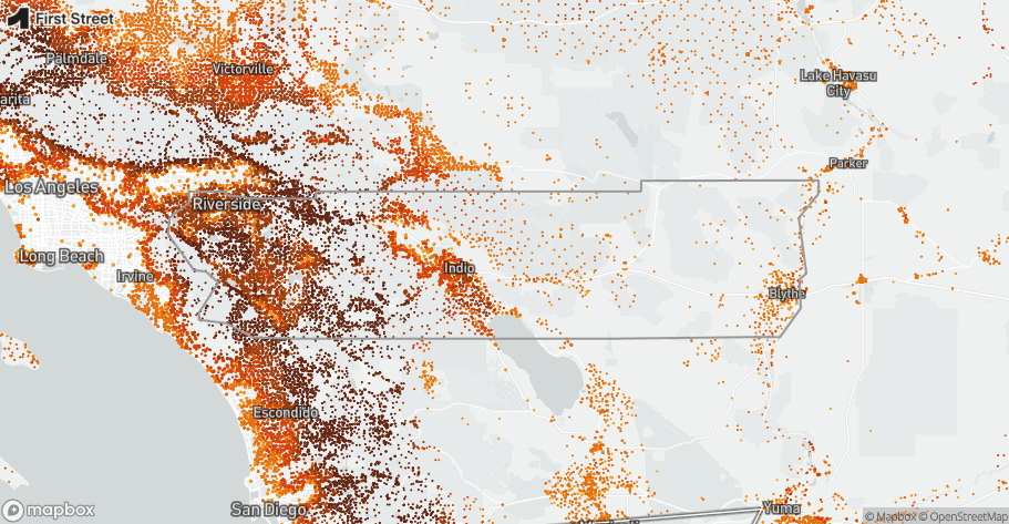
Riverside County faces severe residential wildfire risk. Multiple analyses identify Riverside as having the most properties at wildfire risk of any U.S. county—and the exposure is growing as hotter, drier weather intersects with rapid development in the wildland-urban interface (WUI).
While exact totals vary by model and threshold, community-scale assessments indicate well over 700,000 homes face some level of wildfire exposure, and critical community facilities—schools, health care, utilities, and public safety sites—also carry measurable risk. First Street’s national risk work further notes that Riverside County has an annualized expectation of ~1,600 structures destroyed in the current climate, underscoring the scale of potential impacts countywide.
The Three Drivers of Vulnerability
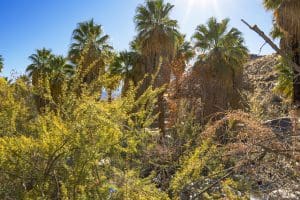
1) Vegetation & Fuel Sources
Riverside’s wildland fuels are primarily made up of chaparral, coastal sage scrub, and (more and more) invasive annual grasses that form a highly flammable fuel bed. After wet winters, grasses grow rapidly, then dry out into fine fuels that ignite easily and spread fire quickly across open hillsides and through neighborhoods near open spaces. FRAP (CAL FIRE’s Fire & Resource Assessment Program) layers and tools show how vegetation, fire history, and climate interact, aiding in hazard assessments.
Why it matters: Fine fuels = fast spread and ember storms, not the long-duration timber fires common in Northern California forests.
Riverside County Fire and OSFM maps (new for 2025) classify large swaths of the county as High or Very High Fire Hazard Severity Zones (FHSZ) based on vegetation, topography, weather, and fire history—important context for mitigation requirements like defensible space and home hardening.
2) Ignition Sources
Most Southern California wildfires are human-caused (directly or indirectly). In Riverside, roadside ignitions, equipment use, utility infrastructure, recreation, and arson intersect with abundant fine fuels. During elevated fire weather, even small ignitions can threaten entire neighborhoods within minutes. Cal Fire and county actions—including seasonal closures of high-risk canyons and trail systems—explicitly target the human ignition problem during peak danger windows.
3) Topography & Weather
Riverside’s complex terrain funnels wind through canyons and across valley floors. Two patterns matter:
- Santa Ana wind events: downslope, hot/dry winds from the Great Basin that lower humidity and raise vapor-pressure deficit (VPD), driving large, destructive fires. Research finds climate change may sharpen SAW seasonality and intensify drying during events even if the number of SAW days modestly declines—still amplifying fire danger.
- The “Elsinore Effect”: a localized afternoon reverse wind pattern along the county’s western edge that pushes winds downslope toward Lake Elsinore, accelerating spread when a fire is present. Documented convergence zones and diurnal mixing near Lake Elsinore make this a predictable—but dangerous—setup.
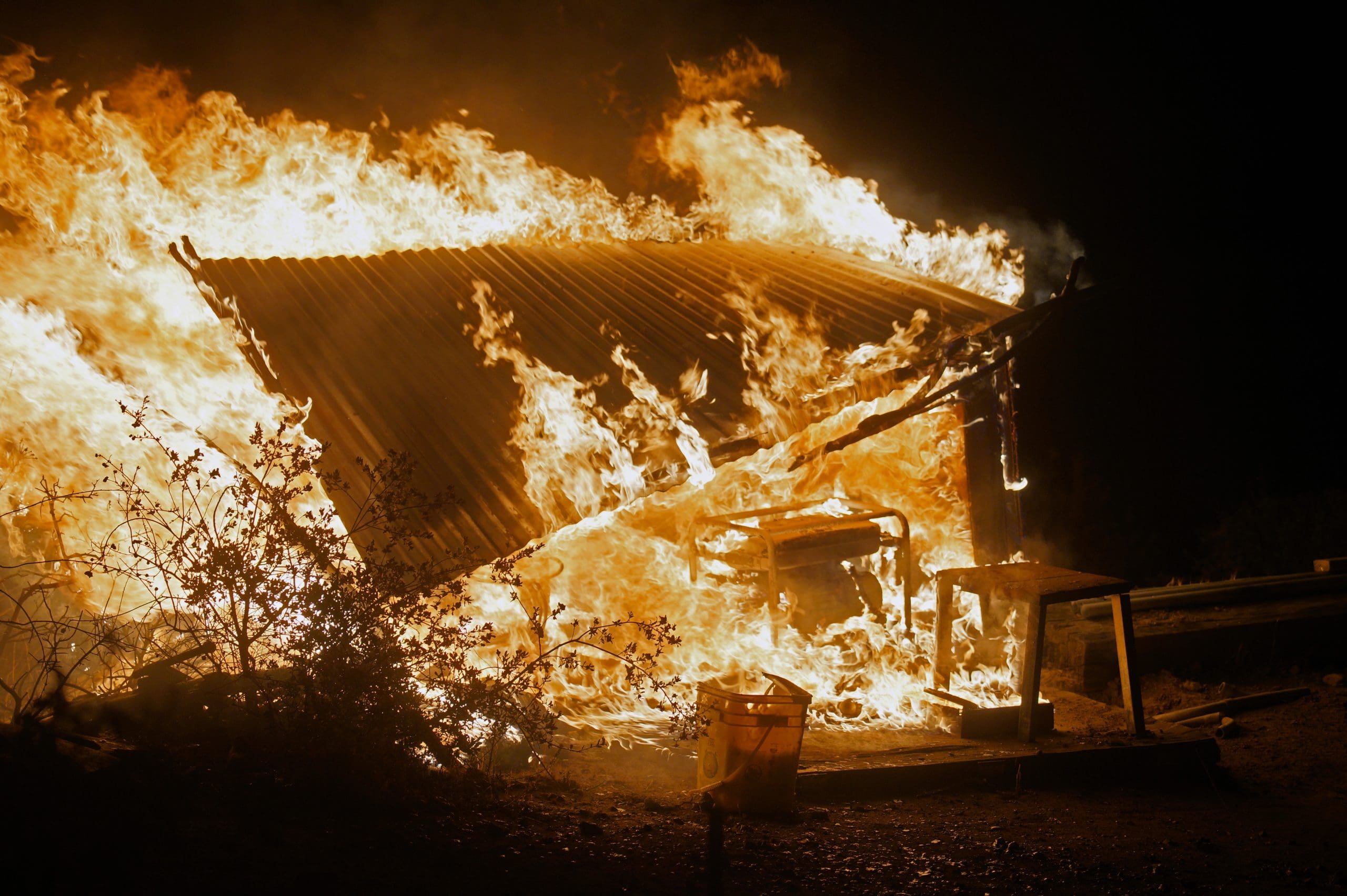
Case in point: The 2024 Airport Fire near Lake Elsinore surged rapidly during critical wind periods, prompting evacuations and multi-agency response—an illustration of how topography and winds can turn a spark into an urban-edge emergency.
The Changing Nature of Risk: Hotter, Drier, More Variable
Riverside’s vulnerability is escalating not just because of growth, but because the baseline climate is shifting:
- Rising temperatures and more frequent extreme heat dry out fuels faster and lengthen the flammable season. State climate assessments project substantial increases in area burned under continued warming.
- Precipitation whiplash (very wet to very dry swings) grows more pronounced, leading to big grass years followed by sharp curing—prime conditions for fast-moving fires. OEHHA and USGS document increasing precipitation variability in California, with atmospheric rivers loading the wet side of the cycle and longer dry spells in between.
- Decreasing humidity / increasing VPD during critical wind events lead to faster ignition and spread; new studies link higher VPD to increased fire potential in coastal SoCal under warming.
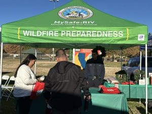
Translating Risk to Action (for Residents & Facility Managers)
Home Hardening & Defensible Space
- Enclose/mesh-screen vents; ember-proof eaves; upgrade to Class-A roofs and dual-pane tempered glass; clear 0–5 feet immediate zone of combustibles; maintain 100 feet of defensible space per local rules in Very High FHSZ areas.
Ignition Prevention
- Avoid mowing or using power tools on hot, dry, or windy afternoons; secure trailer chains; maintain vehicles; follow seasonal closure guidance; report smoke quickly.
Situational Awareness
- Track Red Flag Warnings, Santa Ana wind outlooks, and local afternoon wind patterns along the Lake Elsinore front; pre-pack go-kits; know your evacuation zone and routes. (County and Cal Fire incident pages provide current advisories and maps during events.)
Facility Resilience (for the ~1,600+ critical sites with wildfire exposure)
- Harden perimeters (non-combustible landscaping, ember-resistant vents/doors), assure backup power and redundant comms, pre-stage filtration/masks for smoke days, and coordinate mutual-aid/continuity plans across campuses and lifeline utilities. First Street’s community risk framework specifically evaluates facility exposure alongside residential risk.
The Bottom Line
Riverside County’s wildfire vulnerability is the product of flashy fuels, human ignition potential, and terrain-driven winds—all operating in a warming, more variable climate. The result is severe residential risk and meaningful exposure for critical facilities. Preparation isn’t optional here; it’s part of living safely in Riverside County.