Wildfires are a common part of life in California, but different areas experience them in unique ways. While the extensive forests in Northern California often make the news, Riverside County offers a different kind of wildfire environment. Knowing these differences can help residents better prepare, safeguard their homes, and remain safe when fire season arrives.
A Landscape of Grass and Scrub, Not Forests
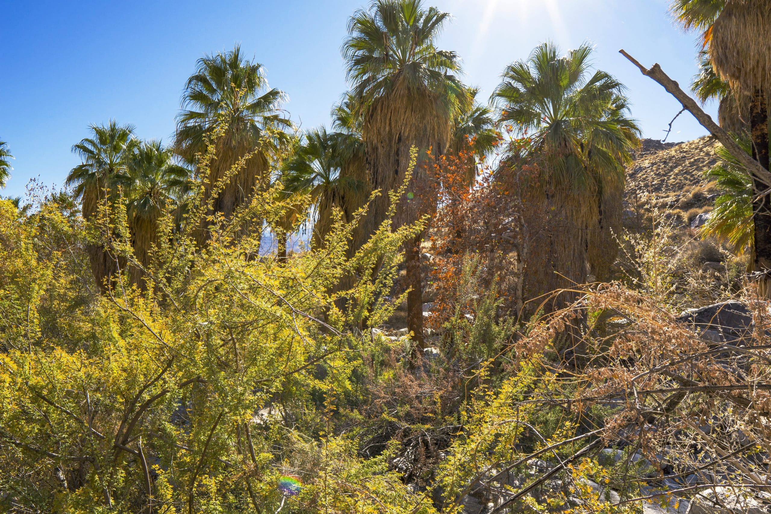
Unlike Northern California, where towering pines, redwoods, and dense forests create heavy fuel loads, Riverside County’s wildland landscape is primarily defined by chaparral, coastal sage scrub, and non-native grasses. These plants proliferate after winter rains and dry out rapidly when temperatures climb — forming a fine-fuel bed that can ignite and spread with startling speed.
Although the Cleveland National Forest borders the southwest part of the county, most Riverside communities — from Temecula to Moreno Valley to Palm Desert — are located in open foothill or valley areas, where vegetation tends to be shorter, patchier, and more prone to ignition in dry conditions. When fires start here, they spread quickly, often driven by wind through brush-covered hillsides and neighborhoods at the urban edge.
Native vs. Invasive Vegetation
Riverside County’s native species, like black sage, California buckwheat, and chamise, evolved to burn periodically and recover. However, invasive grasses such as red brome, fountain grass, and cheatgrass have dramatically altered the fire behavior of the region.
These invaders fill in the natural gaps between shrubs, enabling flames to move smoothly across the landscape—what fire ecologists often refer to as a “flashy fuel environment.” This is one of the main differences between Riverside’s fire risk and that of Northern California’s forested areas, where fires mainly involve tree canopies and deep duff layers.
Different Risks, Different Fire Behavior
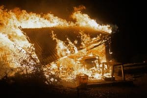
In Northern California, large wildfires often become long-lasting, intense events that burn through dense forests and can take several weeks to fully contain. On the other hand, Riverside fires are typically quick-moving, driven by the wind, and very unpredictable. They can flare up suddenly along a highway shoulder, race across hillsides filled with dry brush, and pose a threat to nearby neighborhoods within just a few minutes.
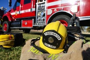
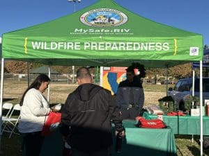
That’s why, in Riverside County, timely evacuation and early warnings are so important. Local fire agencies and groups like MySafe:Riverside work hard to promote the ‘Ready, Set, Go!’ safety plan. They create defensible spaces around properties and provide helpful early alerts, such as Genasys evacuation maps (also aligned with Watch Duty) and community notifications, to keep everyone safe.
Climate and Wind Patterns: The “Elsinore Effect”
Riverside’s inland climate is hot, dry, and often affected by desert airflows. Summer and early fall bring triple-digit temperatures and single-digit humidity, drying vegetation to tinder-like conditions. A distinctive feature of the region is the “Elsinore Effect” — a localized reverse wind pattern that occurs along the western edge of the county. In the afternoons, instead of wind flowing up canyons as it does in many mountain areas, air sinks toward Lake Elsinore, driven by temperature differences between the coast and inland valleys. This downslope wind can significantly increase fire spread, especially when combined with existing fire conditions.
The Human Factor: Growth in the Wildland Urban Interface (WUI)
Riverside County is rapidly expanding, with new homes, schools, and businesses popping up often near wildland areas—the Wildland Urban Interface (WUI). This proximity of development and open spaces means that even a small spark—whether from a vehicle, power line, or lawn equipment—can pose risks to both natural environments and our homes.
Unlike forested Northern California communities that often sit beneath tree canopies, Riverside’s homes are typically surrounded by grasses and shrubs, making defensible space, roofing materials, and home hardening the key to survival when embers begin to fall.
Preparing for the Riverside Reality
While wildfires in Riverside County might appear different from those in the northern forests, they are just as serious. The key differences are in how fast they spread, how close they get, and how predictable they are. By learning about the local environment — like the fuels, winds, and terrain — residents can take smarter, more confident steps to keep their homes and loved ones safe.
• Maintain defensible space around your home.
• Use fire-resistant materials for roofs, vents, and eaves.
• Stay informed about Red Flag Warnings and local wind patterns.
• Know your evacuation routes and zone before a fire starts.
Organizations like MySafe:Riverside are working to ensure every resident knows how to prepare, respond, and recover — because wildfire awareness starts with understanding where you live.