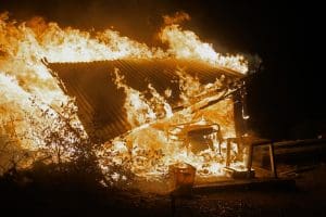

Don’t say we didn’t tell you. What was a cold, wet, and blustery winter and early spring is now becoming a very hot, dry, and dangerous scenario. As these conditions continue to evolve, the threat of wildfire in Riverside County continues to rise. Now is the time to take action to reduce the threat of wildfire. It’s now or maybe never. Don’t risk losing your home. Work with our team to make your home safer from wildfire.
So, what are the weather implications? Here are a few things that contribute to the heated forecast from the National Weather Service:
- Transition from El Niño to La Niña: As El Niño conditions, characterized by warmer ocean temperatures, are currently weakening, there is a shift towards La Niña. This transition typically leads to the development of high-pressure anomalies, contributing to above-average temperatures in affected regions. Consequently, this coming summer is anticipated to be hotter than usual as a result of this transition period. (Almanac.com) (Severe Weather Europe).
- Above-Normal Temperatures: The National Oceanic and Atmospheric Administration (NOAA) confidently predicts above-normal temperatures for the Southwest, including Riverside County, throughout the summer. This forecast aligns with the clear trend of increasingly hot summers in recent years. (FOX Weather) .
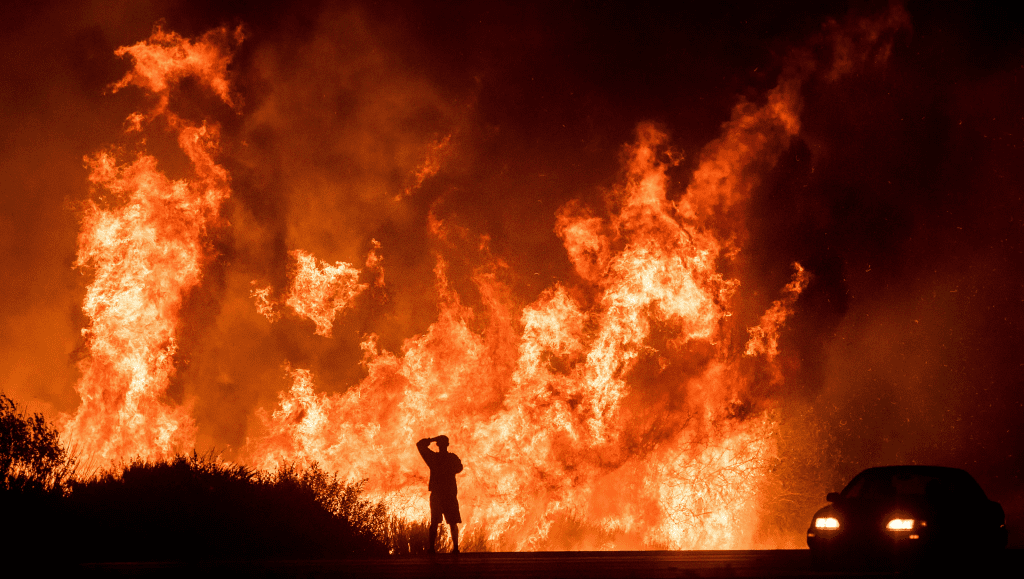
- Increased Wildfire Risk: The high temperatures, low humidity, and dry conditions significantly increase the risk of wildfires. The lack of sufficient rainfall and the presence of dry vegetation create a highly flammable environment. This combination of factors means that the region is likely to experience extreme wildfire risk.ks (FOX Weather) (Severe Weather Europe).
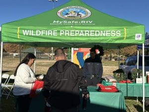
As I drive around the community, I see only one thing on our hillsides – fuel. Don’t feed the fire. Talk to MySafe:Riverside to learn more about taking action to make your home and property more resilient to wildfire.